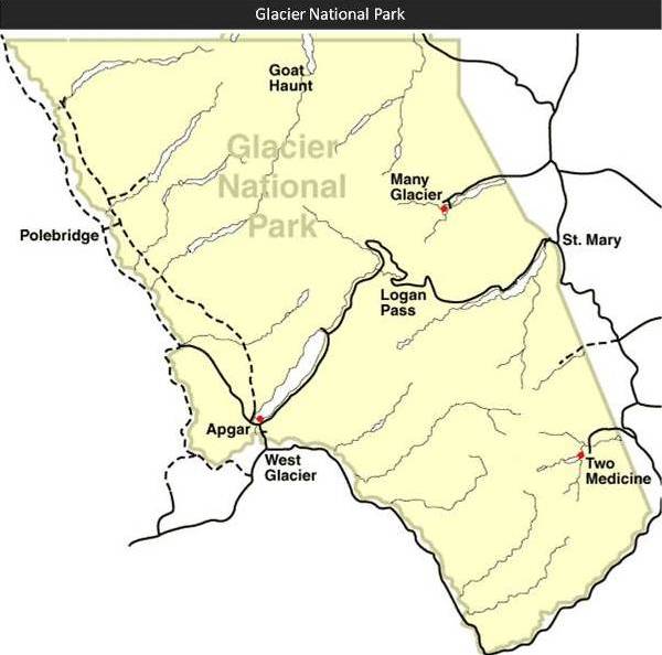
Glacier National Park Trail Maps
| Trails Illustrated Sectional Maps for Glacier National Park:
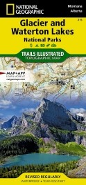
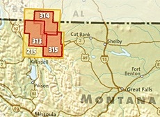
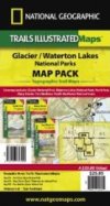
National Geographic publishes four Trails Illustrated Maps for Glacier National Park. The original map (map 215) covers both Glacier and Waterton Lakes National Park. For much greater detail, National Geographic also publishes three sectional maps: Many Glacier, Two Medicine and North Fork. The original map has a scale of 1:100,000, however, the three sectional maps have a scale of 1:50,000, and provide much greater detail such as backcountry campsite locations, footbridges, stream crossings, points-of-interest, shuttle stops, nature/interpretive trails, as well as water and snow hazard locations. All Trails Illustrated Maps are waterproof and tear-resistant. The Many Glacier Map (map 314) includes: Many Glacier area, Cracker Lake, Waterton Lakes National Park, Goat Haunt, Belly River, Upper Kintla Lake, Continental Divide Trail, Pacific Northwest Trail and more... Of course you can still purchase the original map that includes the entire Park. |
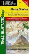 Many Glacier |
 Two Medicine |
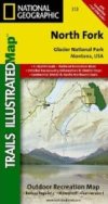 North Fork |
|||
 Nat Geo Locator Map |
 Bundle: All 3 Sectional Maps |
|||||
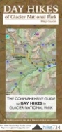
| Day Hikes of Glacier National Park Map Guide: Unlike a map that only shows you where the trails are, or a guidebook that only provides you with an encyclopedic list of hikes, this map guide was laid out to help you quickly decide which trails to explore, using distance, slope difficulty, as well as recommendations from Jake Bramante, the first person to hike every trail in Glacier National Park in one season.
Jake has identified 88 hikes and has sorted them from best to least favorites. Trails are organized by distance on the guide side, and include brief descriptions for each trail. On the map side you'll find a complete list of hikes in ranking order, with indications for earlier season hiking, and hikes best suited for families. Each trail on the topographical map is color coded to indicate trail steepness. This trail guide is also waterproof and tear resistant. You can purchase the map direct from Jake, or from Amazon. Jake also sells GPS Tracks for Glacier National Park. This download includes every trail in the park, and is compatible with any mapping application or GPS device. |
 Glacier Map Guide |
Interactive Topo Map for Glacier National Park
(zoom in to view topographical terrain data)
View Glacier National Park Map in a larger map